Pedestrian-friendly may not be the first thing that comes to mind when describing Metro Manila, but there have been moves toward improving urban planning around the metropolis. The region’s different cities have been taking on individual initiatives to add footbridges, create links, and connect buildings and intersections together, providing pedestrians better ways to move around their most frequented locales.
While the tropical weather may be something of a deterrent in getting people to walk more, it’s good to know that we are a country that’s taking strides in bettering the urban environment.
Ortigas Center, Pasig
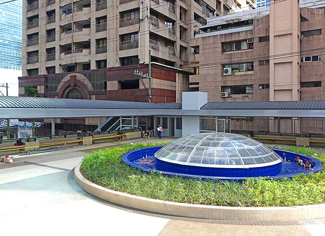
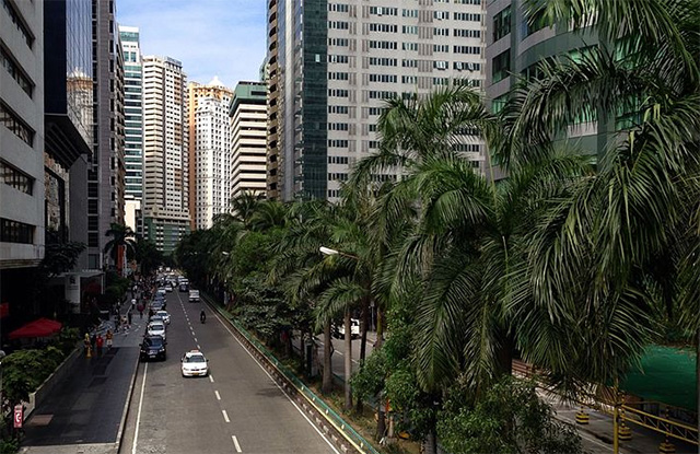
If you’ve ever had to make your way to Ortigas in the last couple of months or years, you’ll have been privy to the intense construction work going on in and around Julia Vargas and Meralco Avenue. Overpasses crossing Julia Vargas have now opened up, allowing people to get from one side of Ortigas Center to the next without disrupting the flow of traffic. And with Pasig’s move toward carless Sundays to promote walking along its quieter side streets on your way to the bigger malls, there’s a lot pedestrians have to be thankful for in this side of town.
Makati
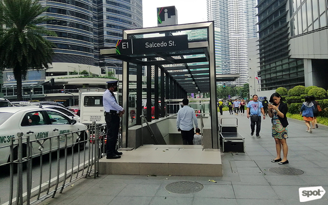
A pioneer in urban development as far as Metro Manila goes; you can expect no less than bold moves from Makati. With overpasses already up and running since the late 1990s and early 2000s, Makati has Ayala Center to thank for the well-designed walkways and underpasses that link the myriad of office buildings to each other.
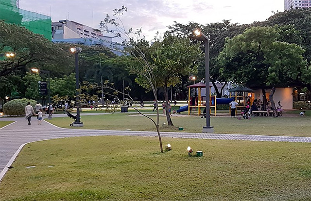
On the other side of town, Makati’s quieter, more residential areas like Salcedo and Legazpi Village have always had its plethora of sidewalks and trees on pedestrians’ side—it’s common for many residents to forego having a car since most everything they need is just a few minutes’ walk away.
Bonifacio Global City, Taguig
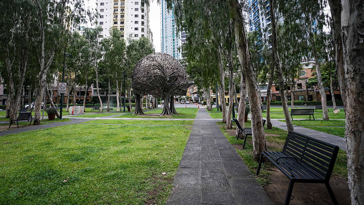
While the rest of Taguig still has some way to go before following suit, residents can at least bank on Taguig’s grid to get from one end of the Global City to the next without much trouble. Not only has BGC paved the way for green transportation, it’s also made it easy to make your way around the area with its Manhattan-style street-naming system, allowing you to figure out where you’re headed via intersections between Avenues and Streets.
Moving from Market! Market! to Forbes Town Center may seem like a long stretch to take on, but with hotspots like Serendra, Bonifacio High Street, Central Square, and all the green spaces that come in between, walking through the busy central business district (sans rain) is no problem at all.
Manila
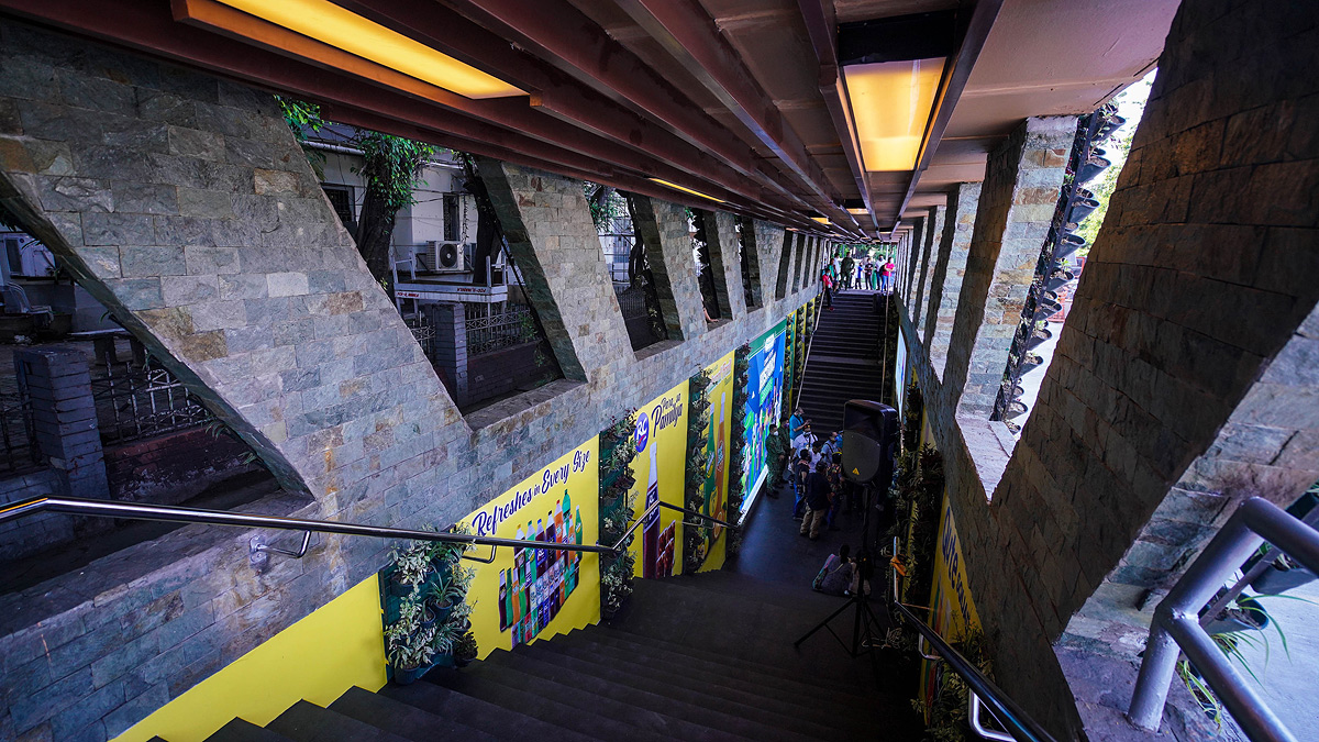
Much attention is being drawn downtown, and for good reason. With the ongoing rehabilitation of the Metropolitan Theater, the recent launching of the National Museum of Natural History, and the gentrification of places like Escolta, there is certainly a movement toward revival in old city center.
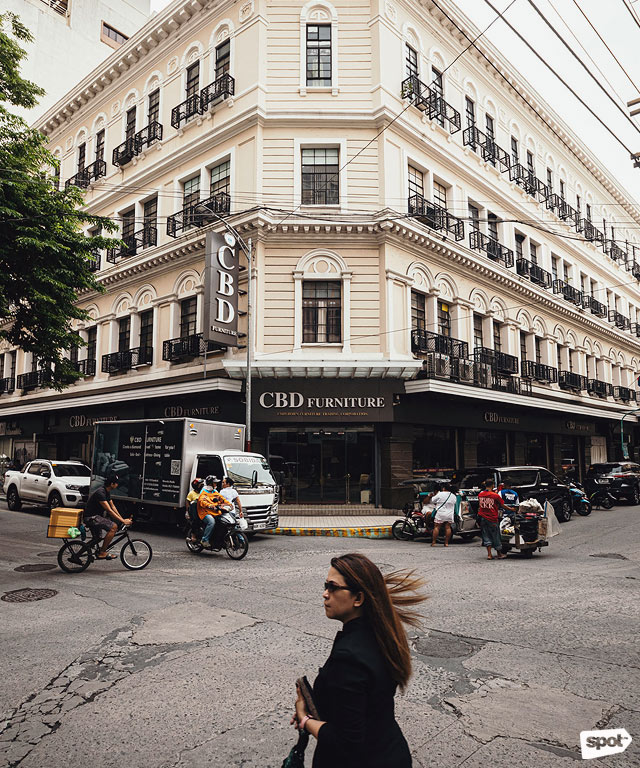
If all things go according to plan, people can also expect the Post Office to be linked to Intramuros and Rizal Park through initiatives supported by both the local government and groups that recognize the historical significance of this part of the metro. If more links between these important landmarks can be made, not just in concept but also in the physical environment, there may be hope that Manila may, again, regain its glory as one of the country’s walkable cities.
This story was originally published on Realliving.com.ph. Minor editos have been made by the SPOT.ph editors.
Source: Spot PH
No comments:
Post a Comment